
The Future Food Systems CRC’s ‘National Protected Cropping mapping’ project team is calling for peer review of its evolving map of protected cropping systems (PCS) across Australia, particularly of the newly added data.
The project team, based at the University of New England’s Applied Agricultural Remote Sensing Centre (AARSC), publishes each new draft regional map within its Industry Engagement Web App (IEWA).
“The Northern Territory was field validated earlier this month; we’ve finalised Western Australia and also completed the draft map for Queensland and much of northern NSW,” said AARSC researcher and project lead Craig Shephard on 20 July.
“The mapping program continues to progress by growing region, with field validation currently being undertaken in Bundaberg, and scheduled for Wet Tropics and Tablelands in August,” Shephard said.
Contributing to the national PC map
In the meantime, the project team encourages input from stakeholders and interested parties. Shephard suggests that those with useful suggestions to contribute make use of the location-based tools that support the project.
The PCS Survey tool, best for mobile, now includes 221 observations which, along with comments received via the IEWA, have all been actioned and updated in the map, Shephard notes.
Within the mapping project’s digital interface, IEWA, those wanting to review the map and contribute comment can view and track the status of the national program via the ‘progress’ layer.
Access this using the ‘Show/hide layers’ tool: simply click it on to open the legend.
More about the National Protected Cropping mapping project
The National Protected Cropping mapping project is a collaboration between Protected Cropping Australia, Hort Innovation and University of New England’s Applied Agricultural Remote Sensing Centre (AARSC). It is supported by the CRC.
Read more about the project here and here.
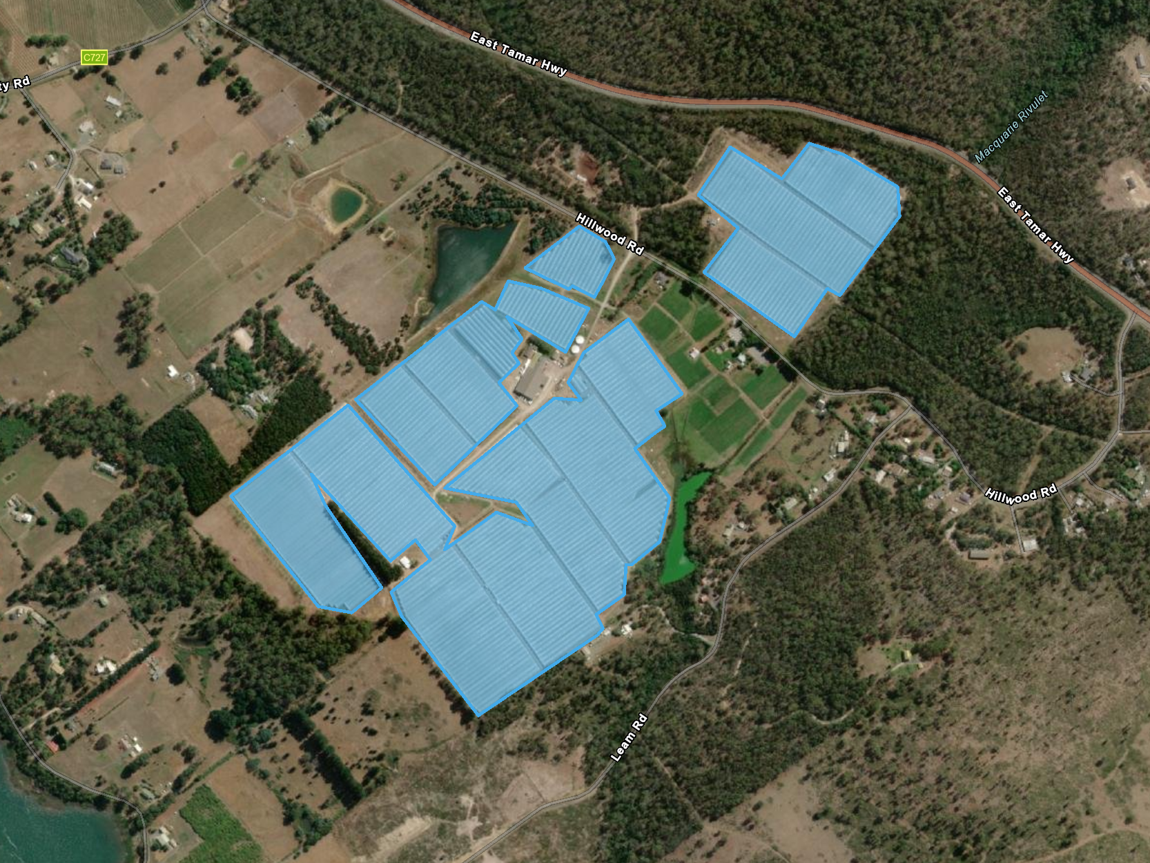
Lead image: Hillwood Berries, Tasmania, aerial view – part of the evolving National protected cropping map. Credit: AARSC/University of New England