
As a bumper olive harvest comes to an end, researchers at Armidale’s University of New England (UNE) are measuring a yield increase of up to 300 per cent on last year in the Boort region of Victoria.
Teams from UNE’s Applied Agricultural Remote Sensing Centre (AARSC) and NSW Department of Primary Industries (DPI) have been sampling individual trees to validate remote sensing techniques for measuring tree health, water stress, yield and oil quality. Their findings will contribute to valuable tools under development for delivering vast improvements in yield forecasting, water use and disease detection.
It is the sum of several years of close industry collaboration and technology evaluation that Australian Olive Association (AOA) president Michael Thomsett says is “profoundly beneficial”.
“The remote sensing has given us a new perspective and will enable the monitoring of larger areas with ease,” he says. “The benefits are not confined to larger commercial growers either; they will be just as useful to smaller growers and absentee owners in an industry that has a significant boutique sector.
“Information gathered through the remote sensing will help us to know where we stand with a particular block, variety and farm, from forecasting crop yield to water and nutritional status. Monitoring is very laborious and time-consuming in olive groves, so being able to identify areas and pinpoint issues that may not otherwise be detected, instantaneously from a desktop, brings huge efficiencies.”
The AARSC has been working closely with NSW DPI, the AOA and CERES airborne imaging on a range of projects. The first is testing the use of satellites, airborne imagery and on-ground sensors for measuring the influence of water shortages on olive yield and quality, and the second is applying remote sensing to all-important yield forecasting and the detection of the prevalent fungal disease verticillium.
“We are achieving up to 98% accuracy with our olive forecasts across multiple sites and this will deliver vitally important information to assist growers with their production estimates and forward selling,” says lead AARSC olive researcher Dr Angelica Suarez Cadavid.
“Accurate forecasts enable growers to plan their harvesting and processing schedules and to better understand variations at the paddock level, including trends of alternate bearing,” says Professor Andrew Robson, Director of the AARSC.
With a boom in ag-tech products, the AARSC is dedicated to evaluating the efficacy of remote sensing technologies and imagery (sourced from satellite, airborne and ground-based sensors) capable of measuring a variety of tree crop traits. The aim is to develop cost-effective, reliable techniques that enable individual growers to develop greater pest and disease resilience, labour and water efficiencies and productivity gains.
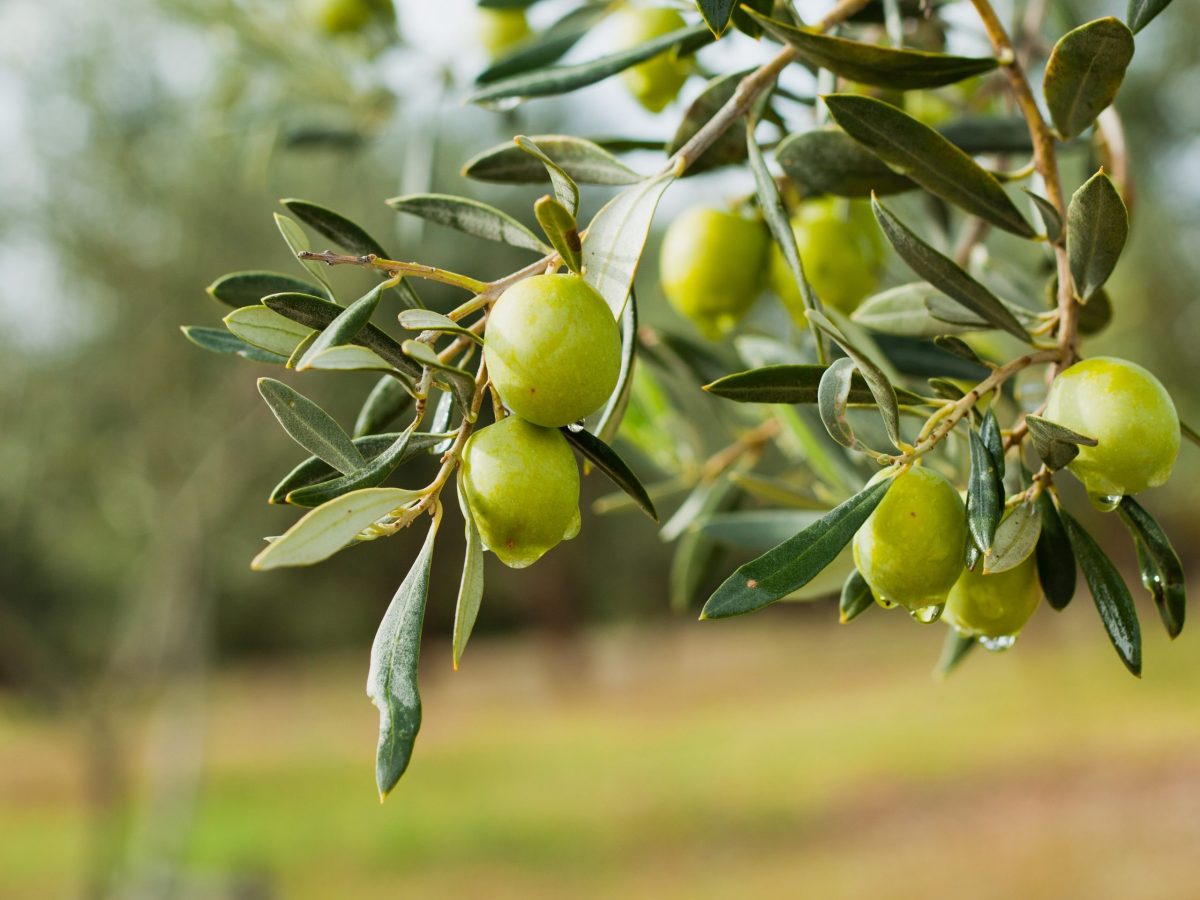
Olives on the tree. Credit: Joanna Tkaczuk/ Shutterstock
Mapping Australia’s olive groves
Of broader benefit to the olive industry is the detailed national map of commercial groves being compiled by the AARSC. It identifies every orchard over one hectare in size and will soon be uploaded to the AOA website.
“Again, this information will be important for yield estimation and forward selling, but also for bio-security protection, traceability, value chain assessments and overseas export negotiations,” says AARSC mapping lead Craig Shephard. “The addition of overlayed Bureau of Meteorology data will be critical to our domestic response to natural disasters.”
Michael Thomsett believes the bio-security and natural disaster applications will be considerable.
“Having an indication of the number of hectares set to be affected by a particular event, like a drought in a state, will be hugely beneficial,” he says. “In the event of an exotic pest or disease outbreak, like the European bacterial disease xylella fastidiosa – public enemy number one in plant quarantine – is a perfect example. The map would allow us to quickly locate and manage the response in conjunction with industry and government agencies.”
The olive research has been funded by Hort Innovation and the federal government’s Rural Research and Development for Profit program. It follows similar AARSC national mapping and yield forecasting studies in the mango, citrus, avocado, macadamia and banana industries.
“This work on tree crops is very novel internationally and has been driven entirely by Australian industry bodies and their respective needs,” Prof. Robson says.
“In all cases, it’s the first time such intensive, spatially referenced data has been collated. This includes the provision of historic productivity information from some of the largest producers in the country. By integrating this data with historic satellite imagery, we aim to develop remote sensing models that offer greater yield forecasting accuracies at the tree, grove, state and national level.
“The data we are generating is already starting to inform planning and management in some tree crop production, achieving improved outcomes for those industries.”
This article was initially published on 9 June 2021 on the University of New England website. It has been republished here courtesy of UNE Media.
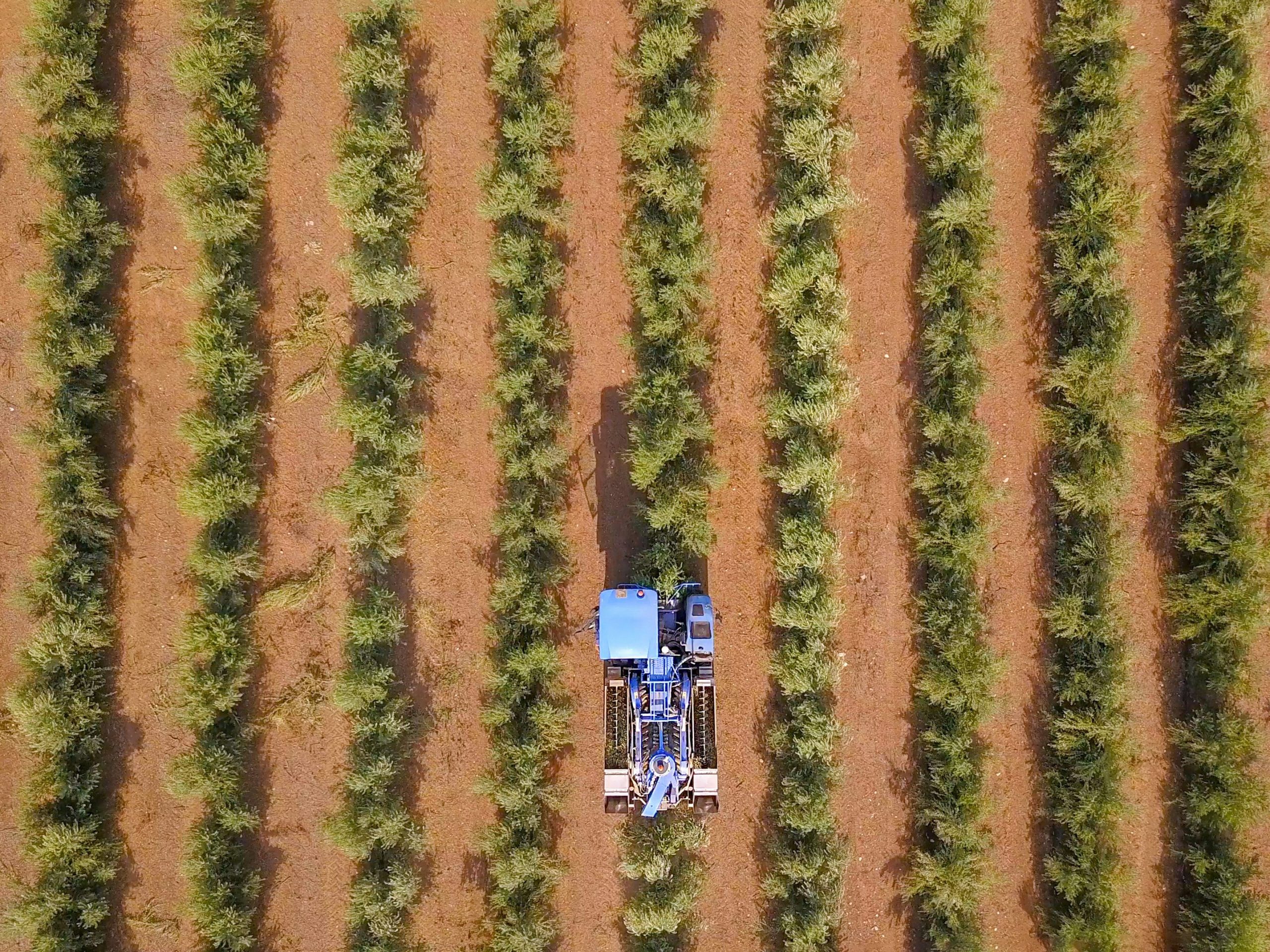
Lead image: Drone shot of a large olive plantation. Credit: Shutterstock