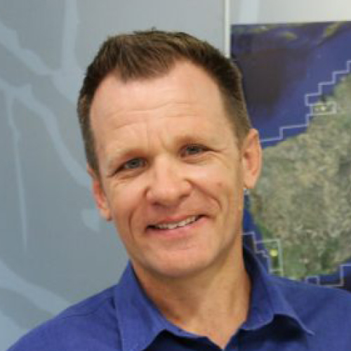
Craig Shephard has over 20 years professional experience in the mapping of landscape attributes – particularly land cover and land use.
Craig previously led the Queensland Land Use Mapping Program, within the Department of Environment and Science. Using remote sensing in combination with field survey techniques, Craig was responsible for the management and administration of the mapping program, managing a team of scientists in the compilation of land use and land use change mapping products. A highlight for the team was winning ‘Best Thematic Map’ at the 2019 Esri International User Conference.
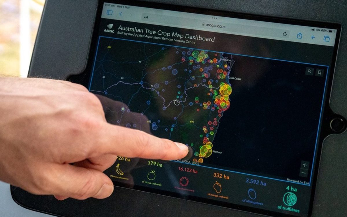
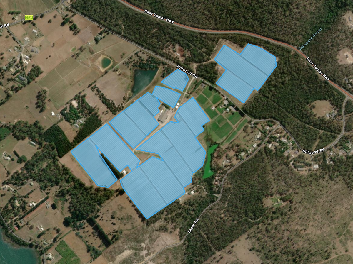
Craig holds a Bachelor of Science majoring in Environmental Science and Geography from Macquarie University, and is particularly focused on the application of web-based Geographic Information System (GIS) technology. Location is the common framework for integrating data to inform decision-making, at multiple scales. Delivering spatial information via web-GIS has opened up the power of spatial data to anyone, on any device.
Specialising in the Esri platform, Craig applies a range of location-based tools (Survey123 and Collector for ArcGIS) to capture spatial data, analyse and compile mapping products in ArcGIS Pro, and using ArcGIS Online and Web App Builder for ArcGIS—deliver spatial information via an ever growing range of web apps. A selection of these can be launched from the AARSC Industry Applications and Maps page www.une.edu.au/webapps.