
Australia’s protected cropping sector – encompassing glasshouses, shade houses, polytunnels, and nets – has been rapidly expanding, but until recently, there was no comprehensive, centralised data on the distribution, scale, or types of systems nationwide. This lack of visibility hindered efforts in yield forecasting, infrastructure planning, workforce coordination, disaster response, and biosecurity preparedness.
Challenge
Solution
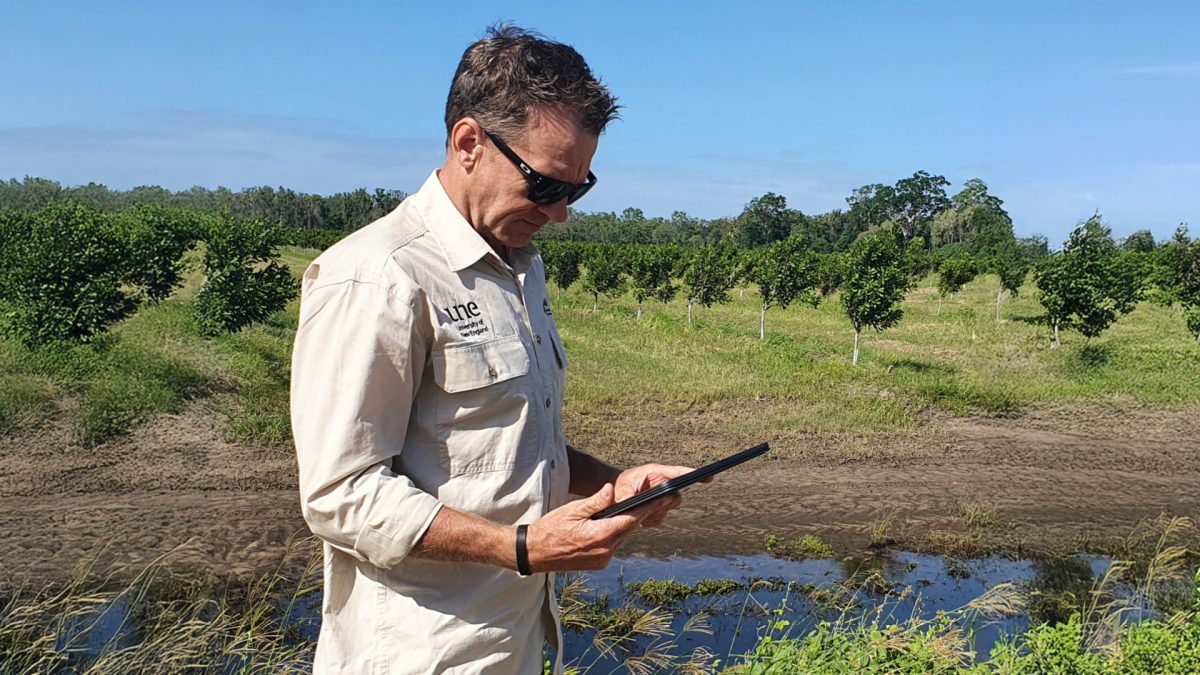
Between 2021 and 2023, a major collaboration led by Hort Innovation and the University of New England’s Applied Agricultural Remote Sensing Centre (AARSC), alongside Protected Cropping Australia, NSW Local Land Services, and Future Food Systems, developed the Australian Protected Cropping Map Dashboard.
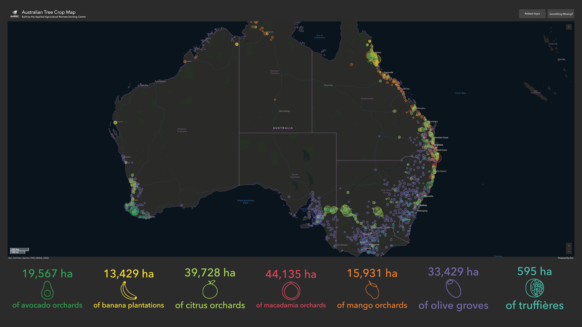
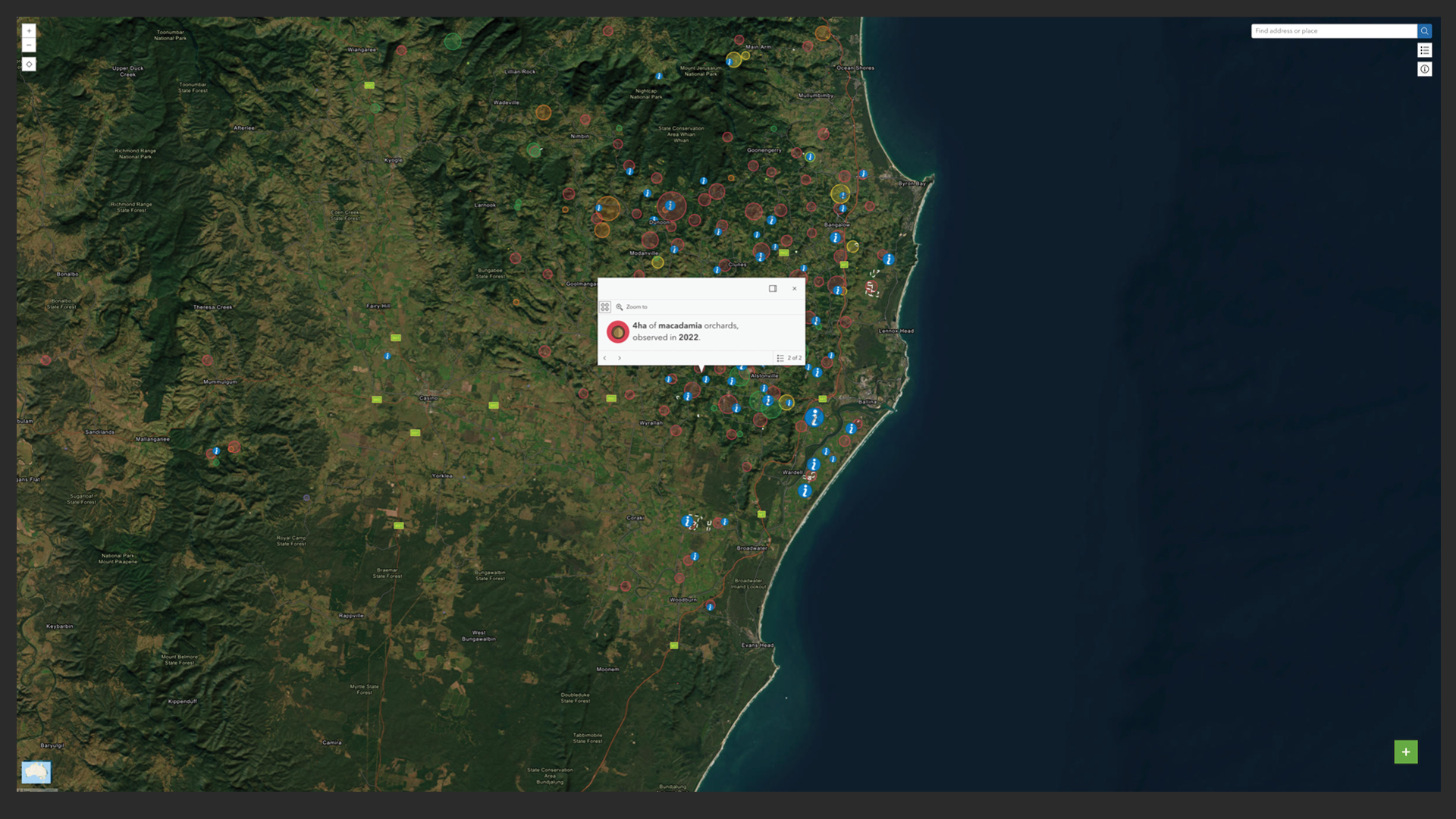
This interactive, publicly accessible dashboard identifies 13,932 hectares of protected cropping systems—comprising 4,473 hectares of greenhouses and 9,459 hectares of nets—across more than 8,000 structures nationwide. It combines existing industry data, remote sensing, citizen science, and on-site validation, while upholding privacy and national data standards.
Impact
The map quickly proved invaluable across multiple sectors. With over 11,000 views by mid-2023, it has:
- Supported the federal Harvest Trail program by improving workforce planning.
- Enabled rapid biosecurity response to the Varroa mite outbreak in NSW via a custom interactive map.
- Been integrated into major tools like AgTrends Spatial Tool and Greenlife Industry Australia’s mapping platform.
- Informed ABS Agricultural Census validation and supported future national statistics.
- Contributed to national land use mapping and commodities data compilation.
It follows the success of AARSC’s Australian Tree Crop Dashboard, which won global recognition at the 2021 Esri International User Conference and has since been adopted by multiple Australian horticultural sectors, including citrus and avocado.
Future Prospects
The Protected Cropping Map establishes a critical data foundation for ongoing applications across the horticulture sector, enabling better decision-making in logistics, policy, land use, climate adaptation, and sustainability.
As Brett Fifield, CEO of Hort Innovation, noted:
“This information will allow the protected cropping sector to better understand industry demographics and will serve as an essential tool for improved biosecurity preparedness and natural disaster response and recovery.”
With growing recognition and cross-sector adoption, the dashboard sets a precedent for future agricultural innovation and positions Australia as a global leader in commodity mapping and data-driven horticulture.